

Gone are the days when drones were confined to the battlefield or used as glorified toys. Today, drones serve as critical platforms across various commercial, public safety, and governmental applications. Several applications have already seen clear value from the deployment of drones and will continue to expand the UAV reach going forward. We predict the four growth markets will be in the areas of infrastructure, agriculture, public safety, and insurance-related inspections.
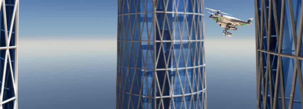
Infrastructure: Construction & Inspections
The global construction drone market size was valued at $4.8 billion in 2019, and is projected to reach approximately $12 billion by 2027, growing at a CAGR of 15.4% from 2020 to 2027. As governments worldwide focus on construction as a means to develop their economy, drones are becoming increasingly relied upon for efficiency and safety. For example, the recent Infrastructure Investment & Jobs Act pledges $1.2 trillion for the construction and upkeep of US-based infrastructure. This investment will open significant opportunities for the drone industry in several ways.
Drones are an excellent tool for the management of construction projects. Drone mapping can be used to regularly update management on the progress of their projects, even generating 3D models of construction sites. These maps help construction managers obtain the “big picture” with clear progress reports, and assist with strategic decision-making, enabling the project to be completed on time and on budget. Aside from project management, drones can be utilized for inspection purposes to see if the structure meets all necessary criteria or needs modification.
Inspections are activities that are currently difficult to automate. However, as operators become more skilled and drone technology becomes more advanced, inspection capabilities will also become more advanced. For example, drones will be able to fly very close to objects, possibly even touching them while carrying out measurements or inspections. This not only keeps workers out of harm’s way – especially when inspections are necessary in dangerous locations – but adds a layer of efficiency that was not previously possible. For example, US government laws require construction companies to survey their sites regularly to ensure they’re safe for workers. Drone technology can transform this process –which used to take days – into an inspection that can be completed in just a few minutes.
Agriculture
The latest UN projections expect the world population to reach 8.5 billion in 2030 and 9.7 billion in 2050. These estimates catapult the need for improved efficiencies in the area of agriculture. We predict drones will make a significant impact on the industry going forward.
Drone mapping empowers farmers to analyze their crops and make better decisions to improve the health of their fields. Using drones, they have a clear view into exactly which areas need better irrigation, which areas have a pestilence problem, and which areas are best for livestock grazing. Once they identify a problem, drones can then be used as the solution. For example, drone spraying is significantly more efficient than manual methods, especially in hard-to-access areas such as vineyards. Drones save time, improve crop yield, and drive revenues.
Going forward, drones will add even more value by auto-analyzing the data for the farmer. Imagine if the drone gathered the data, recognized the problem, and communicated the exact GPS coordinates to a second drone loaded with water, pesticides, or fertilizer. The problem is resolved without the farmer’s involvement. It’s about autonomously actionable data.
Public Safety Applications
Unmanned aerial vehicles are an efficient and affordable alternative to helicopters, enabling police and first responders to stay safe by navigating risky situations. During times of crisis, quick and accurate information is vital for public safety management to respond effectively. Using drone photogrammetry, officials can scan large areas to determine the source of a riot, fire, or flood, enabling them to dispatch their resources appropriately. Drones have been instrumental in search and rescue operations, such as during natural disasters like landslides and hurricanes. The platforms are effective in even the most challenging conditions, including nighttime, wet, cold, and hot environments.
Going forward, with the use of BVLOS technology, the use of drones in public safety applications can be expanded. Whereas in the past, the drone was generally deployed from the incident site, with BVLOS and the availability of fixed-wing VTOL, the drone can be deployed form a centralized location – like a police station – and fly to the location where the 911 call originated from. And with improved communication and data workflow, these drones can become a force multiplier, keeping our cities and populations safer.
Insurance-Related Inspection
Aside from live-feed mapping and surveying, drone-based inspections can also serve to create comparison models. A drone can create a model of a road upon job completion and then perform an annual inspection to identify any corrosion or issues that have cropped up over time. This can be applied across multiple industries, but we predict that the insurance industry has the most to gain from this capability. Global natural disasters during the first half of 2022 cost insurance companies approximately $34 billion. Insurers see drone technology as a solution for quicker and more accurate property assessments. Drones can access difficult-to-reach locations and capture images and video of damage much faster than even the most dedicated claim adjuster.
Insurers can also make use of drone technology before disasters strike. UAV platforms can be used to assess a homeowner’s roof, a commercial building’s façade, or a factory’s perimeter, enabling the insurance company to provide more accurate estimates for their underwriters.
The commercial drone industry is clearly at a growth stage. While its trajectory will be impacted by the maturity of technologies and changing governmental regulations, the industry will continue to assess its ROI by whether the platforms can perform a given task in faster, safer, or less expensive ways. In our view, this ROI will prove itself, especially in infrastructure, agriculture, public safety, and insurance-related inspections.